CIESIN, with support from New York State Energy Research and Development Authority (NYSERDA), undertook a project to fill in critical data gaps and inform adaptation strategies for climate-exacerbated flooding. The New York State Building Footprints with Flood Analysis project provides a flood assessment model with integrated coastal and riverine flood projections, storm and sea level rise scenarios, building footprints, critical infrastructure, and damage assessments. This tool covers all counties in New York State, excluding New York City. County-specific data is being published on an ongoing basis.


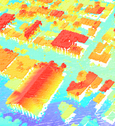
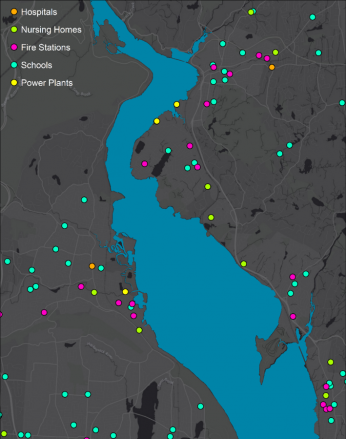
We provide a new comprehensive collection of building footprints, developed by CIESIN for the purposes of modeling floodwater impact on communities. This building footprint data set combines data collected from local governments and the Microsoft USBuildingsFootprints database, manually digitized from New York State Orthoimagery, and extracted from LiDAR data. Critical infrastructure data was acquired from from a variety of sources ranging from the Department of Homeland Security’s Homeland Infrastructure Foundation-Level Data (HIFLD) to the New York State GIS Program Office via the Clearinghouse. Flood grids were developed by transforming FEMA 100- and 500- year floodplains into depth rasters. Damage assessments were conducted for both FEMA 100 and 500 year floods, as well as 90 distinct coastal flooding scenarios developed by the Steven's Institute of Technology's (SIT) "dynamic" water flow model. Damages were calculated using a variation of FEMA Hazus-MH flood loss estimation methodology adapted for this project. Building footprints, damage assessments, and flood grids zip files are available for use in public planning or a user's own analysis, and can be found in the table below. Users are free to use the data for research, government, or commercial purposes with appropriate attribution. Sale of the data or charging for access to the data is expressly prohibited.