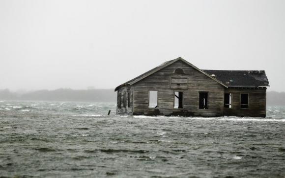
It is imperative that public planners and citizens prepare for emerging climate impacts, especially as they relate to intensifying sea level rise and storm damages. CIESIN, with support from NYSERDA, has introduced 2 flood impact decision support systems for New York State — which model coastal and riverine flooding under different sea level rise and storm scenarios. While precise estimates of flood risk are largely uncertain, a representative range of modeled scenarios and accompanying information can help users, communities, and decision-makers understand their exposure and take action to become more resilient. The Hudson River Flood Impact Decision Support System and NYS Flood Impact Decision Support System provide interactive maps, data packages (zips), and critical information to help users assess the impacts of flooding on communities statewide.

The New York State Flood Impact Decision Support System is based on the 'New York State Building Footprints with Flood Analysis' project results, and covers all New York State counties, excluding New York City. The Hudson River Flood Impact Decision Support System focuses on municipalities bordering the Hudson River and Westchester Long Island Sound shoreline. These tools both include information on critical infrastructure vulnerability and financial damages consistent with a range of storm and sea level rise scenarios. The Hudson River tool utilizes a dynamic flooding model produced by Stevens Institute of Technology, which simulates freshwater flowing from tributaries into the Hudson, in addition to tides, storm surges, and sea level rise. The New York State tool leverages FEMA 100 and 500 flood designations in modeling flood scenarios. Users can consult this site to determine which tool is best suited to their needs. The Hudson River interactive tool includes additional social vulnerability index and natural resilience information. The New York State flood impact support system includes a new comprehensive buildings dataset and impact assessment for the state of New York, also available for download.